Scan barcode

84 pages • missing pub info (editions)
ISBN/UID: 9783639253498
Format: Paperback
Language: English
Publisher: VDM Verlag
Publication date: 28 April 2010

Description
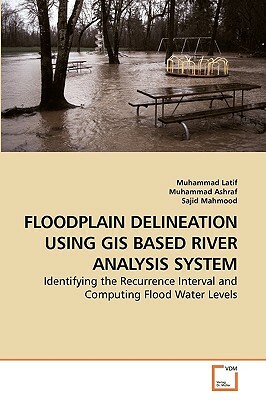
Floodplain is an area adjacent to the main river channel and is very fertile to agriculture; therefore, these areas have been widely developed for agriculture and settlement purposes. As a result, floods have caused enormous damages to life, prope...
Community Reviews

Content Warnings


84 pages • missing pub info (editions)
ISBN/UID: 9783639253498
Format: Paperback
Language: English
Publisher: VDM Verlag
Publication date: 28 April 2010

Description
Floodplain is an area adjacent to the main river channel and is very fertile to agriculture; therefore, these areas have been widely developed for agriculture and settlement purposes. As a result, floods have caused enormous damages to life, prope...
Community Reviews

Content Warnings
